Santa Rosa Island
8-2000
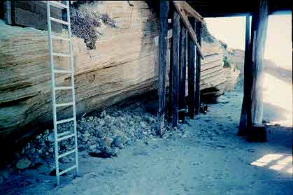
| This is the access to the put-in on S.R.Island. Down a 15' ladder |  |
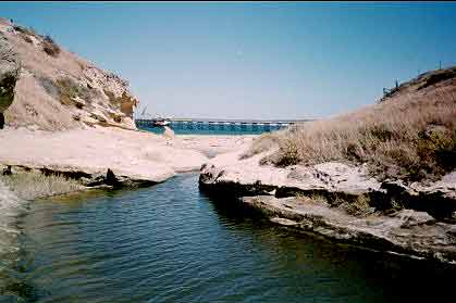 |
There is freshwater on the island. The pier's in the background |
| At High tide the waves hit the cliffs and bounced back and were surfable-great to surf out to sea | 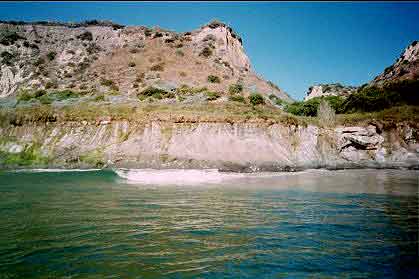 |
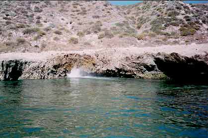 |
Blowholes were numerous |
| Paddling to the NE side the paddler encounters an incredible amount of wildlife | 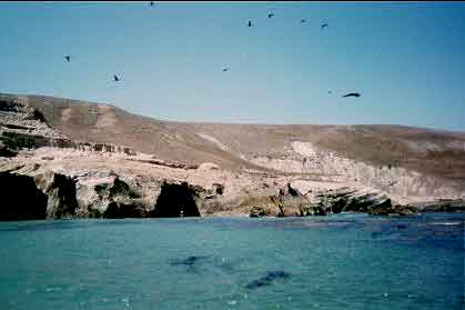 |
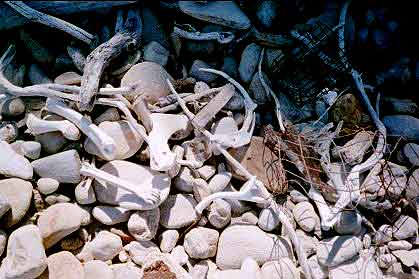 |
The local beaches on the NE side were a bone collector's dream. |
| There's an incredible arch on this NE side | 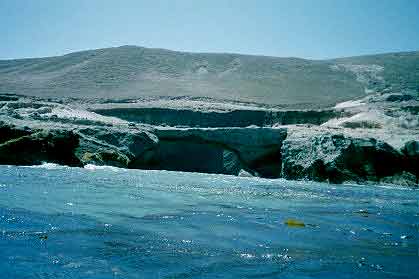 |
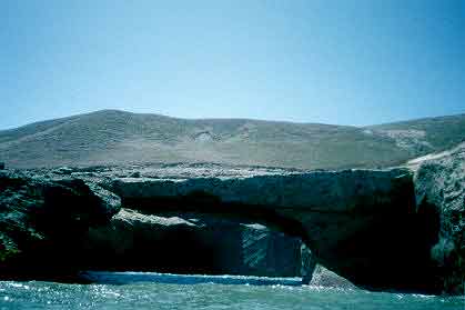 |
Looked like Arches National Park of the Pacific |
| After paddling under the arch the view out to sea | 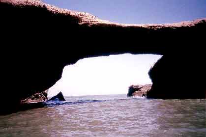 |
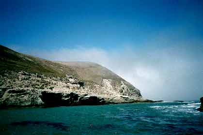 |
A rapidly approaching fog bank forced my retreat to the sunny East side |
Conditions
Water temp 57 North to-64 degrees SE end of Santa Rosa. Air temps were 65-73 degrees
Sunny with occasional fog bank on North side of Santa Rosa and in the channel between S.R. and Santa Cruz Island
Wind NW 15-25 knots with higher gusts in exposed areas-just offshore and in mouths of canyons
glassy to ripple offshore-start of the fetch NW-SE
Synopsis Moderate High pressure NW low pressure SE-desert low
Being in the lee of the island created protection from the heavy NW winds and in this narrow strip of protected water one could paddle safely. The danger here would be to get blown offshore. I paddled NW 1 day and SE the next. Once on the NE side the kelp beds and rocks create a protected inside passage. On the SE paddle I had a difficult paddle returning from the SE and fighting the NW winds.
![]()
See weather briefing before you go
Site Map
| Trips | Short Stories 1 | Short Stories 2 | Seacave Story |
| Kayak Put-ins | Kayak Surfing Tips | Weather Tips | Ocean Wave Conditions |
| Weather & Kayak Links | Home | E-me if you're looking for a paddle partner | Red Rock |
copyright Storm Steiger 2000
Created March 8, 2001